-40%
1948 AAPG Maps & Charts ROSE HILL OIL FIELD Lee County Virginia Wells Geology
$ 4.74
- Description
- Size Guide
Description
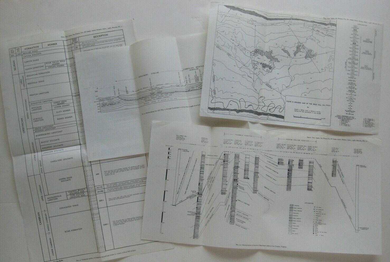
Four fold-out charts and tables on the Rose Hill Oil Field in Lee County, Virginia, published in 1948 by the American Association of Petroleum Geologists.There's a section view along the Middleboro syncline, Cumberland Mountain monocline, and Powell Valley anticline; a geologic map of the Rose Hill Oil Field; interpretations of records at important wells in Lee County; and a table of geological formations.
These maps and charts were part of a report by geologist Ralph L. Miller, published during a year when the Rose Hill Oil Field was very active and new wells were being started or projected.
Condition:
All four fold-outs are in
excellent condition,
bright and clean, with
no
marks, rips, or tears. They open to various sizes, between 8½" x 13" and 17" x 10½". Please see the scans and feel free to ask any questions.
Buy with confidence! We are always happy to combine shipping on the purchase of multiple items — just make sure to pay for everything at one time, not individually.
Powered by SixBit's eCommerce Solution


